Eifelleiter
Bad Breisig
Hiking Fun on the Eifelleiter
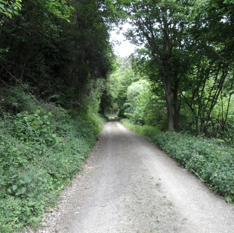
This 53 km long weekend tour is a delight for all walkers wanting to explore three different landscapes of the Eifel Mountains. From its starting point in the picturesque Rhine Valley, the Eifelleiter - which means Eifel Ladder in German - climbs up the fiery volcanic region of the Brohltal and over the Eifel’s highest summit, the Hohe Acht to then reach the beautiful town of Adenau as a grand finale. Like almost no other hiking trail in the Eifel region, the Eifelleiter features an unbeatable abundance of scenic highlights: Enjoy breathtaking panoramic views and a true taste of nature as the Eifel’s volcanism and its fiery past become palpable.
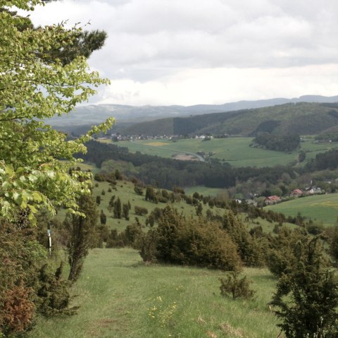
The route offers a surprising diversity of hiking experiences: Serpentine ascents lead to rewarding views of the Rhine and the Eifel, the Rodder Maar captivates visitors with its enchanting world of water, observation towers in the middle of the Wacholderheide (“Juniper Heath”) persuade walkers to stay and dream away, and a dance on top of the volcano transforms the subject of geology into a hiking adventure. But that’s not all. The edge of the forest and impressive rock formations line the way as you head up the highest mountain of the Eifel, the Hohe Acht.
The magnificent view from the Kaiser William Tower quickly makes up for all walking efforts before you make your way through the forest landscape of the High Eifel to reach the small town of Adenau.
Marking of the tour:


