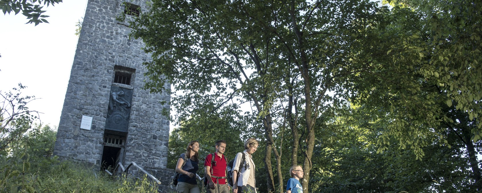
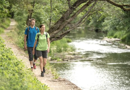
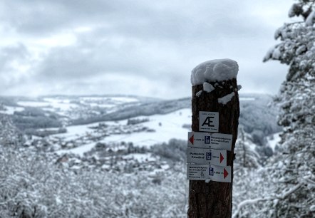
Der Absieg vom Kaiser-Wilhelm-Turm auf der Hohen Acht in der Eifel, © Kappest

Hiking Trails

A wealth of hiking trails Follow gentle wide valleys up to the tops of the mountains. Explore nature up close! A host of diverse hiking trails traverses the Eifel region.

The wildly romantic High Eifel landscape with its never-ending forests and lush meadows 
is the perfect destination for extended walking holidays. The soft forest floor under your feet, 
hiking through unspoilt nature in pure fresh air and awe-inspiring panoramic vistas 
that’s what we call sheer hiking bliss.
Take time to catch your breath and unwind and let yourself be enchanted by your surroundings on a multi-day hiking adventure.  
Start with one of our exciting circular trails for an invigorating day hike.
Simply head out into the Eifel region around the Nürburgring, immerse yourself in the idyllic landscape far from the hustle and bustle of everyday life, and savour the regional delicacies served up in the local restaurants and cafés. Lace up your boots and get going! 
 

mehr lesen

Share content:

Bitte akzeptieren Sie den Einsatz aller Cookies, um den Inhalt dieser Seite sehen zu können.

Alle Cookies Freigeben

Filter results

Waldretter-Trail_Herbst_HighRes-4, © ©Wohlleben_Waldakademie

Waldretter-Trail Wohllebens Waldakademie

Lenght: 14.3 km
Route: Start Waldakademie, Nordstr. 15, 53520 Wershofen (476 m) to Ziel Waldakademie, Nordstr. 15, 53500 Wershofen  
Difficulty: medium

More information
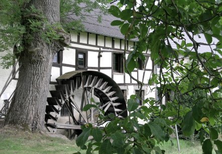
Mühlenrad der Hahnensteiner Mühle, © Tourist-Information Hocheifel Nürburgring

Auf den Spuren alter Mühlen | On the trails of old mills

Lenght: 69.2 km
Route: Adenau, Ex Mühle to Adenau
Difficulty: medium

More information
Wandern in der Eifel, © Ahrtaltourismus e.V.

Auf den Spuren der Fürstin Margaretha | On the traces of Princess Margaretha

Lenght: 28.6 km
Route: Aremberg to Aremberg
Difficulty: medium

More information
blick-auf-burgruine-nuerburgatsebastianschulte_1, © SebastianSchulte

Auf den Spuren der Ordensritter | On the trails of the Knights of the Order

Lenght: 41.6 km
Route: Adenau | Komturei to Adenau | Komturei
Difficulty: medium

More information
Wanderwege rund um den Nürbrurgring, © TI Hocheifel-Nürburgring, D. Ketz

Auf den Spuren der grünen Hölle | On the trails of the Green Hell - Nürburgring

Lenght: 10.8 km
Route: Nürburg to Nürburg
Difficulty: medium

More information
Wandern in der Hocheifel am Nürburgring, © Tourist-Information Hocheifel-Nürburgring,Jonathan_Andrews

Circular route | Rundweg Hocheifel

Lenght: 25.6 km
Route: Dr.-Creuz-Platz in Adenau to Dr.-Creuz-Platz in Adenau
Difficulty: difficult

More information
Wandern im Sommer, © Ahrtaltourismus e.V.

Circular route | Wirftbach-Schleife

Lenght: 14 km
Route: Kirmutscheid to Kirmutscheid
Difficulty: medium

More information
Hocheifel-Nürburgring wandern in der Winterzeit, © TI Hocheifel-Nürburgring,S.Schulte

Circular route | Müllenwirft-Schleife

Lenght: 14.8 km
Route: Wimbach Schutzhütte to Wimbach
Difficulty: medium

More information
Pomster Aussichtsplatform, © Siegfried Müller

Circular route | Dörferblick-Schleife

Lenght: 14 km
Route: Kirmutscheid to Kirmutscheid
Difficulty: medium

More information
Hocheifel_PanoramaWeg_Hürsnück019©BaumannFotografie, © TI Hocheifel-Nürburgirng©BaumannFotografie

Stage hike: Hocheifel-Panorama-Weg (Adenau - Insul)

Lenght: 15.1 km
Route: historic market square of Adenau to Insul
Difficulty: medium

More information

Are you currently spending a vacation in the Eifel or have you spent a vacation in the Eifel in the last 6 months? We would be delighted if you  take part in our guest survey. As a thank you, you can win an Apple iPad.